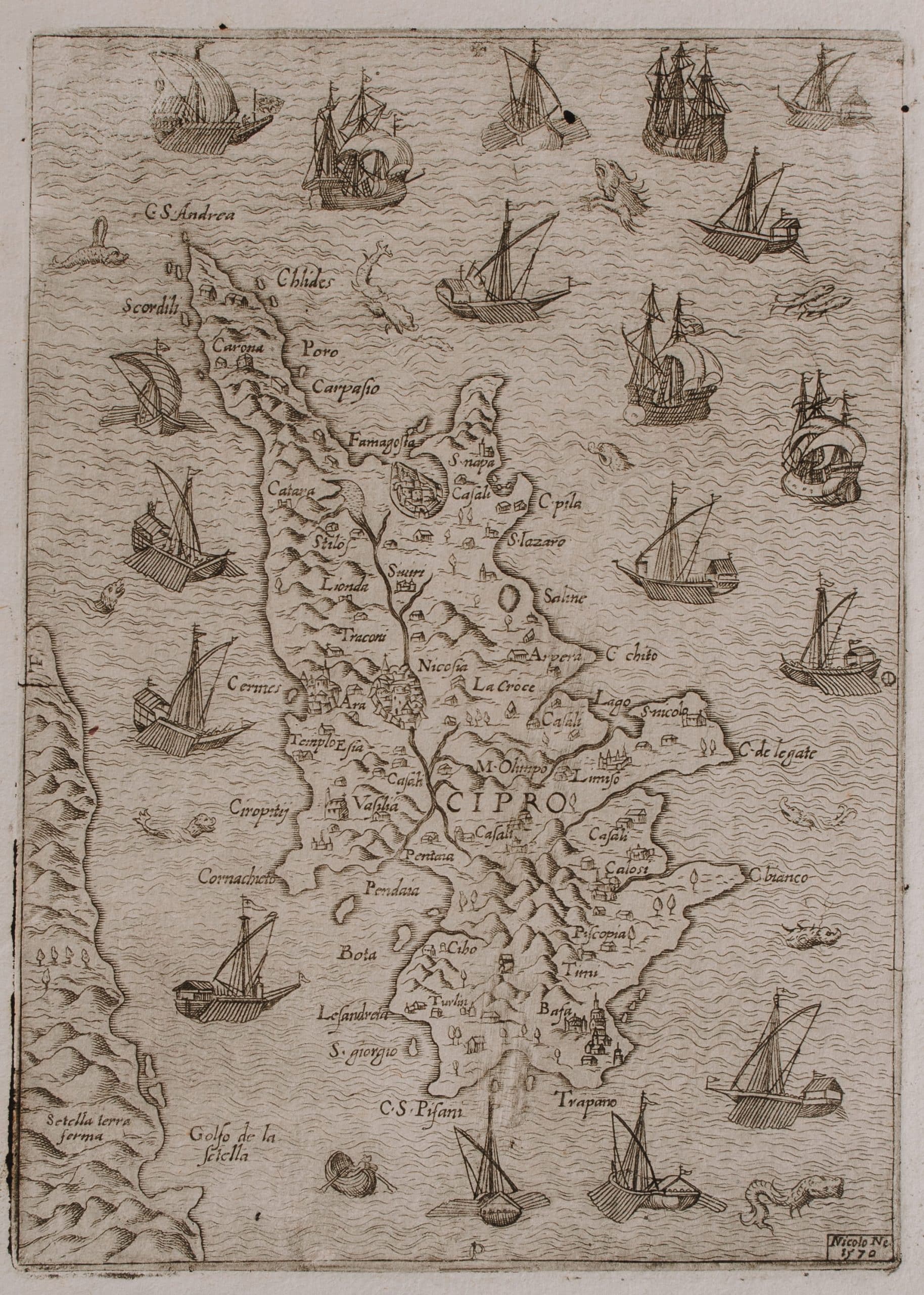
This rare loose-sheet map of Cyprus was issued in 1570, the year the Fourth Ottoman-Venetian War (1570-1573), also known as the “Guerra di Cipro”, had begun. The island’s shape is not based on any serious survey and unlike most maps of Cyprus, the map is not oriented towards the north, but the east. Cyprus is shown surrounded by an armada of warships, mostly Venetian with the exception of the top right corner showing Ottoman ships coming from Asia Minor, where the Ottomans are said to have set sail.
Time Period: 1500 – 1800 CE
Size: 19cm x 13,6cm
Artist: Nicolò NELLI
Material: Loose-sheet map
Institution: Bank of Cyprus Cultural Foundation
Time Period: 1500 – 1800 CE
Size: 19cm x 13,6cm
Artist: Nicolò NELLI
Material: Loose-sheet map
Institution: Bank of Cyprus Cultural Foundation
ccby